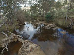
Landholders along Hughes Creek are invited to take part in a project to protect the threatened Macquarie Perch and to improve the health of the river system.
H ughes Creek starts in the Black Range and flows across the Ruffy Tablelands before descending into the Hughes Creek Valley and emerging onto the Riverine Plain above Avenel. From there it flows to the Goulburn River.
To protect and increase the population of Macquarie perch, we are working with the community to improve the creek’s health. A long-term aim is to reconnect this population to the Goulburn River.
To learn more about these works, view these interactive story maps:
- Macquarie perch monitoring presents the fish survey data with interpretive summaries to provide greater context for the annual result variations. Survey results are also available in Fish Survey factsheets found below.
- Instream Habitat Works Trial - short version is a condensed version of the 8ASM presentation which following an overview of the Hughes Creek project, details the method and monitoring employed with the instream habitat works trial underway, along with our findings to date.
Hughes Creek Project Fact Sheet
Work is being undertaken to improve stream health and fish habitat for the nationally endangered Macquarie perch. Click here to view the fact sheet
Further Information
For more information follow the links below:
These Youtube clips showcase some of the works carried as part of this project.
“For further information on the Huges Creek Project and to find out how you can become involved contact Goulburn Broken CMA on 5822 7700 or email reception@gbcma.vic.gov.au”