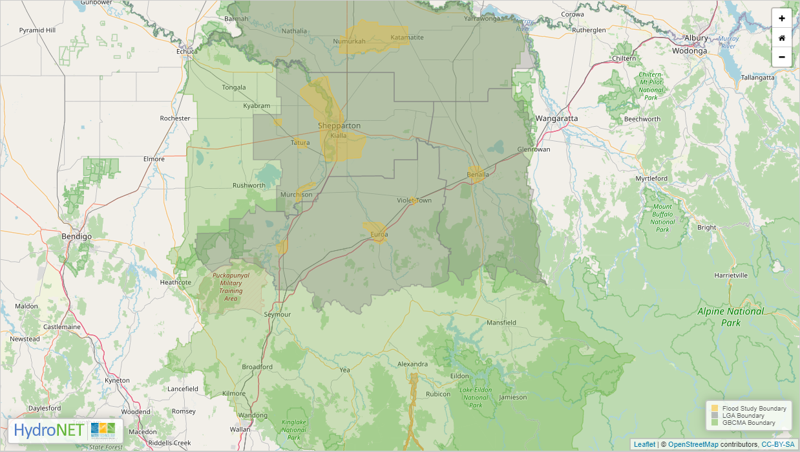
The Goulburn Broken Community Flood Intelligence Portal allows you to view flood maps, search properties and create a property flood report and flood information including estimated 100-year ARI flood levels.
General Information and User Guide tabs are included in the portal.
The portal has been developed with local councils to help improve the flood resilience of the catchment’s community, property, infrastructure and environment.
Click on the image below to access the Goulburn Broken Community Flood Intelligence Portal (alternate).
Access a brief instructional video is available here.
A flood is a natural event with many variables and the predictive maps, while based on the best information at the time, may not reflect real time experience (no two floods are the same).
Please stay connected to realtime information and for life-threatening emergencies call Triple Zero (000). Call VICSES on 132 500 from anywhere in Victoria for flood, storm, tsunami and earthquake emergency response for help. For real-time incidents and warnings, use the VicEmergency Website, VicEmergency app or phone the VicEmergency Hotline on 1800 226 226.
